Unlock Mexico's Geological Secrets with GeoInfoMex! This comprehensive geological consultation app puts the power of geoscientific data right at your fingertips. Explore Mexico's hidden depths with ease.
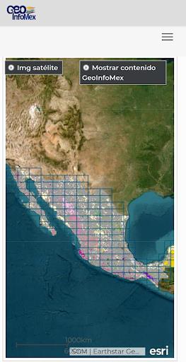
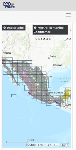
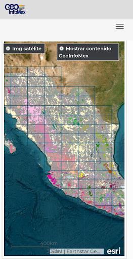
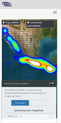
GeoInfoMex offers a wealth of information, including geological-mining and geophysical data, geochemical maps, and details on mines, processing plants, and significant rock formations. Understand land ownership with data from the National Agrarian Registry, and discover the beauty of CONANP's protected natural areas. Stay informed about seismic activity with real-time earthquake updates from SSN and IG-UNAM, and access hydrological data courtesy of Cencas.
Key Features of GeoInfoMex:
- Extensive Geological Data: Access a broad range of geoscientific information on Mexico, including detailed maps and data on geological-mining activities, geophysical surveys, and geochemical mapping.
- Mining and Rock Information: Discover details about mines, processing facilities, and notable rock formations throughout Mexico. Learn about their location, characteristics, and more.
- Land Ownership Insights: Explore land ownership details from the National Agrarian Registry, gaining a clearer picture of Mexico's land distribution.
- Protected Areas Exploration: Discover Mexico's protected natural areas managed by CONANP. Ideal for eco-tourism enthusiasts and conservationists.
- Earthquake Monitoring: Stay updated on seismic activity with real-time earthquake data from SSN and IG-UNAM.
- Hydrological Data Access: Explore hydrological information from Cencas, including water resources, river basins, and water quality data.
In Summary:
GeoInfoMex is the perfect tool for geoscientists, researchers, environmentalists, and anyone interested in Mexico's geology. Download now for an unparalleled geological adventure! Get accurate, up-to-date information in a user-friendly format.